


You are 200 miles into a drive through the Colorado Rockies when the temperature drops 15 degrees in under an hour and the pass ahead closes. No warning on your phone. No backup plan. This happens to thousands of drivers every year — not because weather is unpredictable, but because most people check the wrong data at the wrong time.
Planning a road trip around weather conditions is a skill. Here is how to build it.
Weather Apps Compared: Which One Actually Helps on the Road
Most people use whatever weather app came with their phone. That works for checking if you need an umbrella — not for planning a 900-mile drive through three climate zones. Here is how the main options stack up for road trip use specifically:
| App | Best Use Case | Cost | Standout Feature |
|---|---|---|---|
| Weather.gov | Multi-day route planning | Free | Official NOAA point forecasts for exact coordinates along your route |
| Windy.com | Mountain passes, coastal drives | Free | Wind layer maps by altitude, pressure systems, live webcam integration |
| Weather Underground | City-to-city highway driving | Free | Hyperlocal personal weather stations with 15-minute update intervals |
| Apple Weather (Dark Sky data) | Real-time alerts while driving | Free (iOS) | Minute-by-minute precipitation timing with high accuracy |
| The Weather Channel (TWC) | Storm tracking on long trips | Free / $4.99 per month premium | Severe weather push notifications, animated storm path tracking |
The Clear Winner for Mountain Driving
Windy.com is the best free option for anyone driving through elevated terrain. It shows wind speeds by altitude, identifies pressure gradients before storms build, and links to mountain webcams so you can see road conditions in real time — not just a probability percentage. Weather Underground handles flat-state driving better. Its network of personal weather stations catches localized rain events that national apps miss entirely, especially across the Midwest and Southeast.
What These Apps Cannot Tell You
No app predicts road closure timing. For that, you need your state’s 511 system. Just search “[state name] 511” or call 511 directly from your car. CDOT in Colorado updates pass conditions every two hours. UDOT in Utah runs live cameras on I-70 and US-6 that refresh every few minutes. Bookmark these before you leave — not after you are already in the canyon with one bar of signal.
Building Weather Checkpoints Into Your Route the Night Before
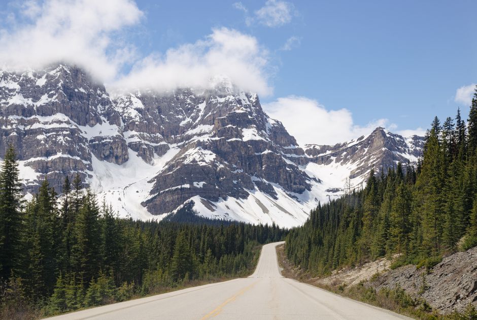
A route is not a straight line from A to B. Treat it as a series of weather windows — short segments where conditions shift and where you need a clear decision point before proceeding.
The 48-Hour Planning Window
Weather forecasts beyond 72 hours are directionally useful, not operationally reliable. The 48-hour window is your actual planning zone. Load your full route into Weather.gov’s point forecast tool: click the map at three to five points along your drive — start, midpoint, any mountain pass or major junction, and destination. Check the hourly forecast for each. If any segment shows thunderstorms or ice during the hours you would be passing through, that is a re-routing decision, not a hope-for-the-best situation.
For trips spanning four or more days, recheck forecasts every morning. A system that looked benign on Tuesday can become a significant weather event by Thursday. The Weather Channel app’s driving forecast feature sends push alerts when conditions along a saved route deteriorate — worth enabling even if you prefer other apps for general use.
Segmenting Your Drive Into Weather Zones
Different stretches behave differently in the same storm. A cold front moving northeast across Kansas hits I-70 before it reaches I-80. Coastal fog in Northern California burns off by 10am most days but lingers until 2pm near the Oregon border. The Gulf Coast corridor through Georgia and Alabama sees afternoon thunderstorms almost daily from June through September — but they typically clear by 4pm.
Break your route into segments by geography, not just mileage. A drive from Denver to Salt Lake City crosses the Rockies (elevation-sensitive, pass closures possible), drops into desert (heat and flash flood territory), then climbs again through the Wasatch Front. Each zone needs its own weather check, not just a general “partly cloudy along the route” summary from a single location pin.
The Bailout Hotel Rule
Before any segment with weather risk — a mountain pass, plains tornado corridor, coastal route during hurricane season — identify one hotel within 30 miles that still has rooms. Do not book it yet. Just know it exists and have the phone number saved. If conditions deteriorate fast, you are not searching booking apps from a gas station parking lot in a downpour. This habit costs nothing and has rescued more road trips than any forecasting tool.
Four Weather Mistakes That Actually Strand Drivers
These are not edge cases. They are the same four errors that appear in roadside assistance logs and travel forums every single season.
- Checking weather only at the destination. A clear day in Denver tells you nothing about conditions on Vail Pass. Check the midpoints, especially elevated ones, not just where you are sleeping that night.
- Ignoring elevation gain on the temperature forecast. Temperature drops roughly 3.5°F per 1,000 feet of elevation gain. A road at 7,500 feet can be 26°F colder than the city you left two hours ago. Rain becomes snow. Slick becomes black ice. Your weather app showed 48°F — the pass is at 28°F.
- Driving through dense fog at highway speeds. Fog does not reduce reaction time — it eliminates it. Safe practice requires 200 feet of clear visibility per 10 mph of speed. At 60 mph, you need 1,200 feet. Fog banks along coastal routes and river valleys rarely give you that. Slow to 35 mph or pull off completely.
- Scheduling high-elevation activities in the afternoon during summer. In Colorado, Arizona, and New Mexico, convective thunderstorms build almost daily from July through September, peaking between 1pm and 4pm. Being above treeline at 2pm is genuinely dangerous. Plan mountain drives and passes for mornings and be descending by noon.
Seasonal Timing: The Short Version
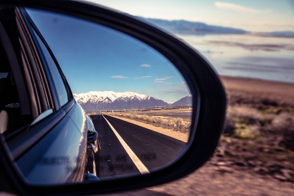
For the US Rockies, avoid mountain passes from November through March without all-wheel drive and snow-rated tires — not all-season, actually M+S or three-peak-snowflake rated tires. The Pacific Coast Highway between Big Sur and Monterey is best driven October through May, before summer fog and weekend gridlock combine. The Gulf Coast from New Orleans to Florida runs clean November through May; June through October is hurricane season and you are betting on timing you cannot control.
September and October are the most consistently drivable months across nearly every major US road trip corridor. If your schedule is flexible, that is the window to target.
When the Forecast Is Wrong Mid-Trip
Should you pull over or push through?
Pull over if visibility drops below a quarter mile, if water is crossing the lane surface, or if you cannot see lane markings. Push through if the storm is moving faster than you and you can outrun it. Windy.com’s animated radar layer shows storm movement direction and speed in real time — that tells you whether driving into or away from the system makes more sense. It is a five-second check that changes the decision entirely.
How do you find a reroute quickly?
Google Maps and Waze both pull real-time road closure data and reroute automatically. Waze has a slight edge on ground-level reports from other drivers — flooded underpasses and downed trees appear on Waze before they hit official sources. Set navigation to avoid highways temporarily if a major interstate is closed; the app finds state routes that bypass the problem without you needing to know the area.
What following distance is safe in rain?
Double the standard. The three-second rule becomes six seconds in light rain and twelve seconds in heavy rain. At 65 mph, twelve seconds of following distance is just over 1,100 feet — roughly a fifth of a mile. Most drivers have never seen that marked out on a road. It looks like an enormous gap. It is the correct one.
Weather does not cancel road trips — the gap between what you checked and what you should have checked does. Locking in three weather checkpoints along your route the night before, and treating any severe forecast as a scheduling problem rather than an optimism exercise, is the single habit that separates drivers who arrive on time from drivers who are waiting out a storm in a truck stop diner.